

Maps and Atlases
Early Printed Books
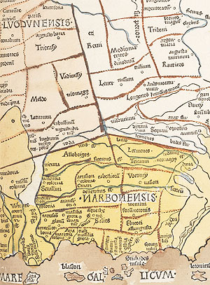
Detail of map from Ptolemy’s Geographiæ Libri VIII, Rome, 1490. DD.aa.10.
There is a surprisingly good range of maps and atlases in the collection. The mapmaking of antiquity is contained in Ptolemy, Cosmographia, Rome, 1490. The gradual improvement of surveying standards can be seen in C. Saxton, Chartae Geographicae Omnium Comitatuum Angliae et Walliae, [London], 1579, and the many editions of G. Mercator, Atlas.
Among the 17th-century map publishers there are good holdings of the outprint of J. Blaeu of Amsterdam and Moses Pitt of London.
Several of John Rocque’s works provide details of Ireland in the 18th century.
The Fagel Collection contains over 1,600 separate sheet maps printed before 1790 which cover all the then-known areas of the world.
Ordnance Survey maps of Ireland and Great Britain are kept in the Map Library.
Manuscripts & Archives
The most significant collection of maps of Irish interest in Manuscripts & Archives is that of George Carew, Lord President of Munster at the beginning of the 17th century (MS 1209). This collection contains nearly 70 maps and is one of the largest sets of original Tudor and early Stuart maps of Ireland surviving anywhere. They are known collectively as the "Hardiman Atlas" after their first cataloguer, James Hardiman.
The famous Huguenot cartographer John Rocque is represented by two volumes of surveys of estates in Athy in 1756 (MS 4278) and of Kildare in 1757 (MS 10434). An earlier 18th-cenury map is that by Thomas Moreland of the estate of the Earls of Mountrath, 1730 (Armytage Deposit).
The College produced its own collection of maps surveying of its estates (MUN/ME). Cartographers Thomas Sherrard and Bernard Scalé were employed by the College to carry out some of these works. Rarities in the collection include two rough 17th-century drawings by Sir Josias Bodley of the previously unmapped baronies of Kilmacrenan and Tirehugh, Co. Donegal (MUN/ME/15, 15a, 20) missing from the Down Survey. There are also 16 volumes of a remarkable survey and valuation of College lands carried out by Thomas Collis in the early 1840s (MUN V/79).
Catalogues and Bibliography
Catalogues for individual collections are available in the reading room of Manuscripts & Archives.
F.H. Aalen, "Two early-17th-century maps of Donegal", JRSAI 94(2) (1964), pp. 199-202
J. Andrews, "TCD Estate Maps", Hermathena XCVIII (1964), pp. 91-6
R. Loeber, The Geography and Practice of English Colonization in Ireland from 1534-1609, Irish Settlement Series 3 (Group for the Study of Irish Historical Settlement, 1991)
W. O’Sullivan, "George Carew’s Irish Maps", Long Room 26-27 (1985), pp. 15-25