Researchers launch global citizen science project “CoastSnap” in Dublin Bay
Posted on: 11 September 2026
A team of scientists, led by those from Trinity’s School of Natural Sciences, have today launched the first in a series of “CoastSnap” stations across the Dublin Bay UNESCO Biosphere Reserve. These stations will give the public a new way to help the scientists track changes along Dublin’s coastlines.
CoastSnap is a global citizen science project that turns mobile phones into a coastal monitoring tool. Located near the entrance to Merrion Strand, CoastSnap Booterstown is the first active station which will monitor the expansion of Booterstown spit, along with recording seasonal changes in salt marsh plant cover, the presence or absence of bird species, and environmental processes such as algal blooms.
Booterstown spit is a dynamic and rapidly changing coastal landform, providing important habitats and nature-based coastal protection in south Dublin Bay.
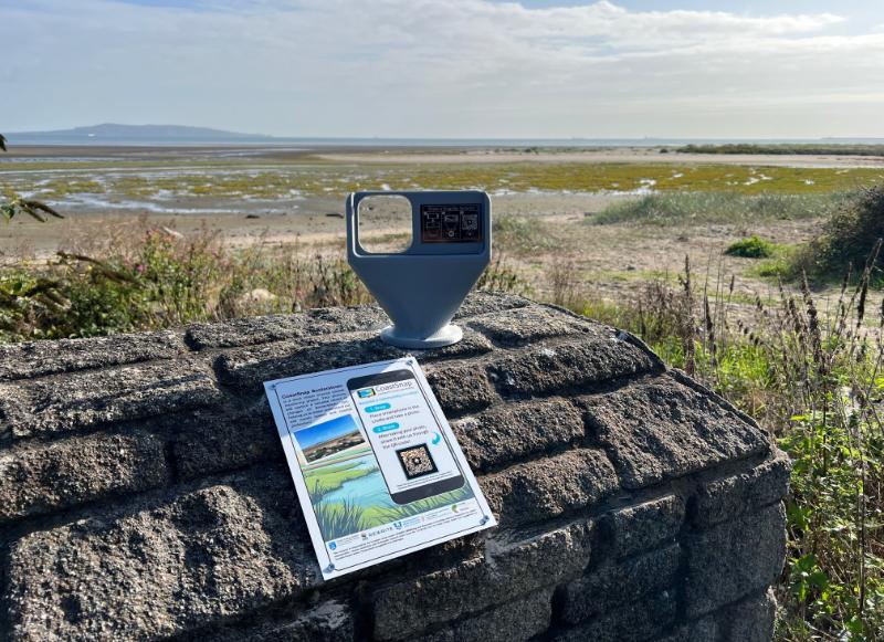
The CoastSnap Booterstown station near the Merrion Strand beach access in south Dublin Bay.
Visitors can place their mobile phone in the station holder, snap a picture, and upload it via the QR code. Every snap will become part of a community database, building a long-term dataset of how our coastal environments are changing over time.
While each photo takes only seconds to contribute, together these images will provide researchers with a valuable long-term record of coastal change. Visitors that frequent the stations can also download the CoastSnap app from their app store for quicker uploads. No scientific expertise is required, so anyone visiting the stations can contribute.
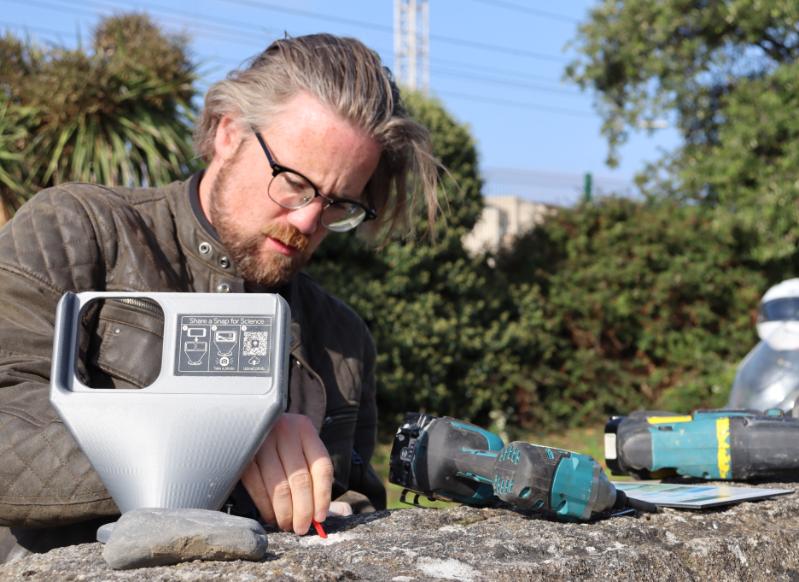
Dr Owen Humphreys, Senior Technical Officer in Trinity's Department of Civil, Structural & Environmental Engineering, installs the CoastSnap Booterstown station.
Funding for CoastSnap Dublin Bay was awarded to Dr Erica Terese Krueger by the Trinity Civic Engagement for Societal Impact Awards.
Dr Krueger, a research fellow in the Trinity Coastal Research Group in the School of Natural Sciences, said:
“CoastSnap is a great way for people to become part of the story of Dublin Bay. Every photo is a small but meaningful piece of a much bigger picture, helping us to understand how our coastlines are changing.
“We hope that these stations will become familiar points where people will stop, take a photo, and know that they are contributing to a long-term record of a landscape that matters to them.”
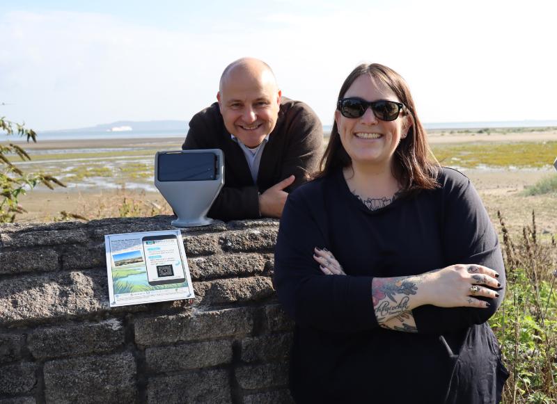
Dr Erica Terese Krueger, Research Fellow in the Trinity Coastal Research Group, and Michael Foley, Trinity Civic Engagement for Societal Impact Manager, with the newly installed CoastSnap Booterstown station.
The project is further supported by Trinity’s School of Natural Sciences; School of Engineering; Dublin City Council; Dun Laoghaire-Rathdown County Council; National Parks and Wildlife Service; the EU-funded “REWRITE” project; and the Dublin Bay UNESCO Biosphere Reserve Partnership.
Two other stations will be launched later this month on Bull Island: one at the north end of Dollymount Strand to measure beach and dune erosion; and one on the south end to measure dune accretion.
Anyone visiting the CoastSnap Dublin Bay stations is encouraged to contribute a photograph and become part of the growing community dataset documenting coastal changes.
You can find out more about CoastSnap here and the CoastSnap Dublin Bay project here.
Media Contact:
Thomas Deane | Media Relations | deaneth@tcd.ie | +353 1 896 4685