Teaching Next-Generation Mapping with Drones
March 2016
Dr. Catherine Rose has received funding from the Dean’s Teaching and Innovation Awards to buy an Unmanned Aerial Vehicle (UAV) or ‘drone’ for the School of Natural Sciences.
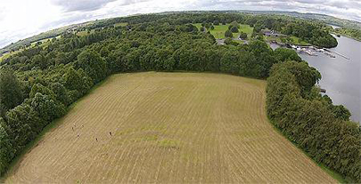
UAVs have revolutionized field data acquisition in the Natural Sciences. These airborne platforms, equipped with digital cameras and other instrumentation, dramatically increase field data collection capabilities through real-time aerial surveys and rapid remote sensing of km-scale field areas. UAVs are also used for monitoring potential geohazards such as floods, landslides or coastal erosion, and other situations where physical access is not possible. This new technology is rapidly growing in scope and application within industrial, government, and educational sectors.
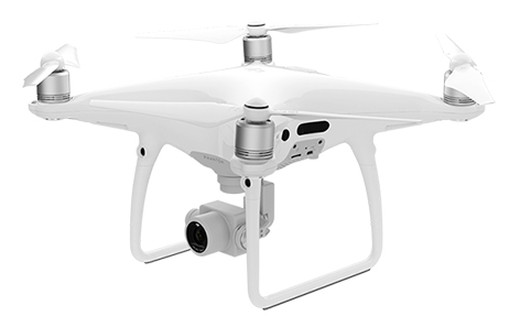
Trinity will keep pace with this innovation and provide training to students with incorporation of this technology within existing and future modules. The Department of Geology will provide hands-on training for students to collect, process, and interpret UAV-acquired spatial data using a DJI Phantom 4 Professional quadcopter.